

3D Mapping & Aerial Surveys
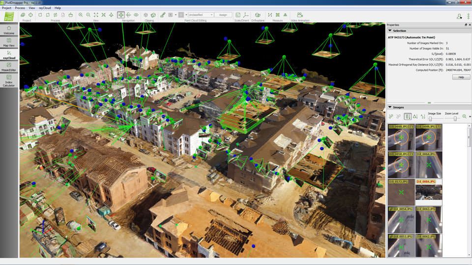
Using our aerial platforms and cutting edge software applications, we can create highly precise, geo-referenced maps, mosaics and 3D models that can be customized and compliment a wide range of applications and software. Outputs can integrate into your GIS or CAD software, and measurement tools can let you run calculations and make critical decisions with minimal time and effort.
Improve efficiencies and minimize materials and labor costs by using orthomosaics, DSMs, DTMs and point clouds to calculate volumes of extracted materials and stockpiles for a quarry or construction project. Generate a completely accurate and realistic 3D model of a school or shopping mall that can be used by law enforcement to prepare for an active shooter situation. Create pre- and post-harvest 3D model inventories of a forestry projects to meet industry and government regulations. The possibilities are truly limitless.
View new aerial surveys of your construction site monthly or weekly to monitor contractors and construction progress; measure points, lines, surfaces and volumes; and annotate vector objects to seamlessly import them into your existing CAD or GIS software package. Our 3D mapping services put a world of information at your fingertips.
Discover the Power of Drone Image Data
GlobalVideoHQ can provide aerial surveys and 3D mapping in north Texas and nationwide.
To learn more, call (972) 318-2811.